We must go there someday…….
We must go there someday…….

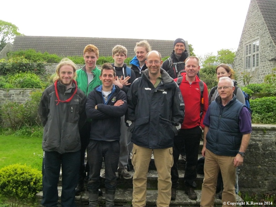
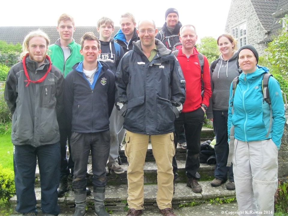
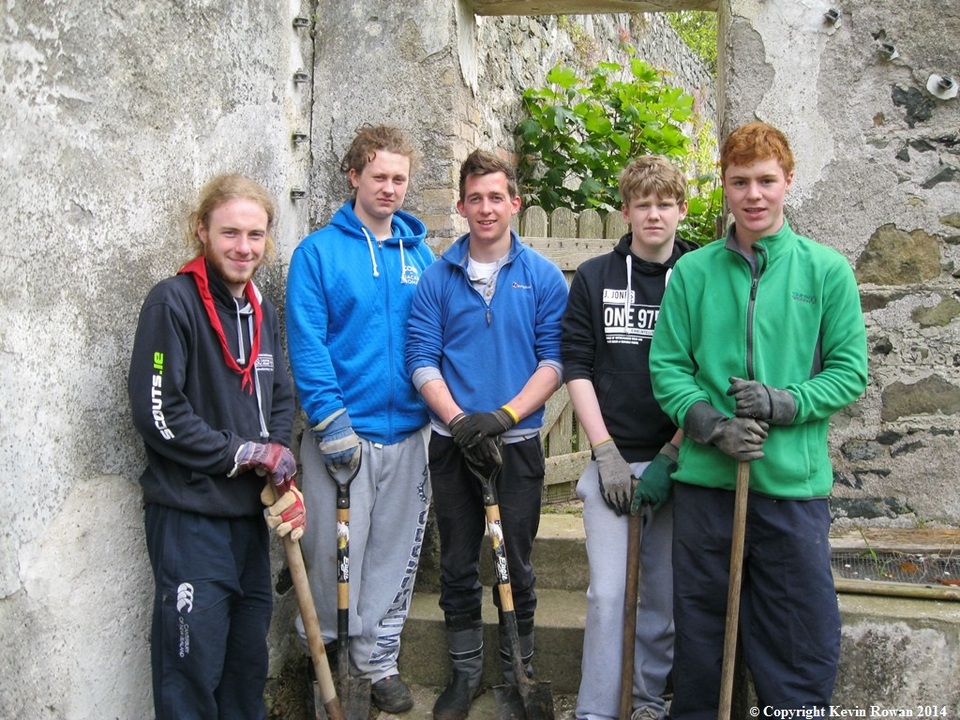
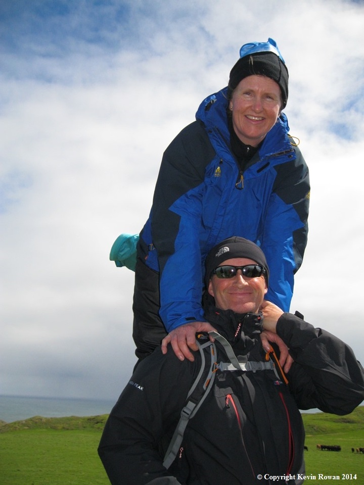
Members of Malahide Sea Scout Group with Alex Baring (7th Baron Ravelstoke)
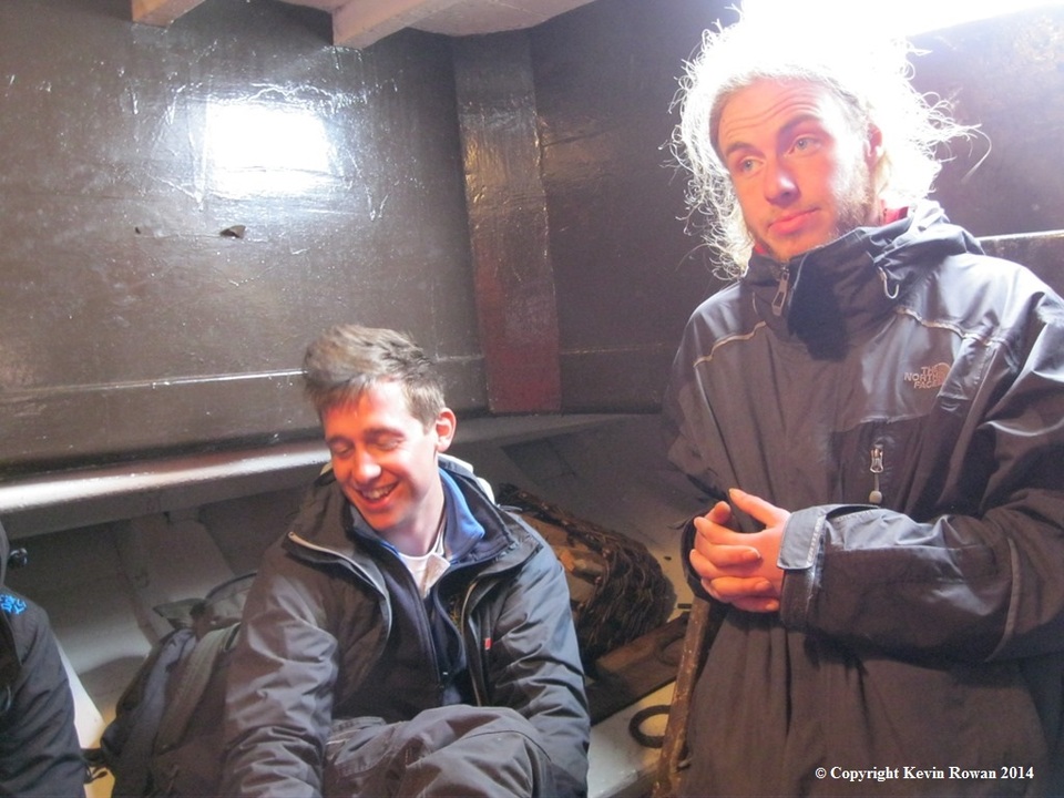
We had heard this so many times from when we were all teenagers, but there hadn’t being so much excitement around at the Sea Wall in Malahide since our first deep sea expedition back in 1979 when we made a crossing to Peel on the Isle of Man .Then we made passage on ‘Tar-Tar’ a forty foot motor sail launch with a sharp bow painted in battle ship grey.
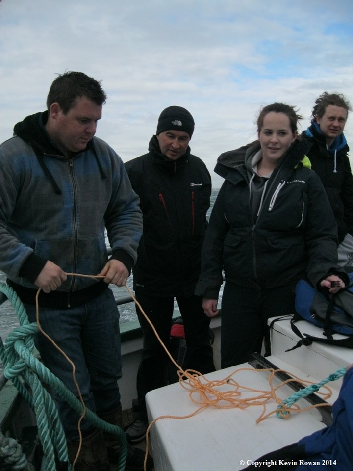
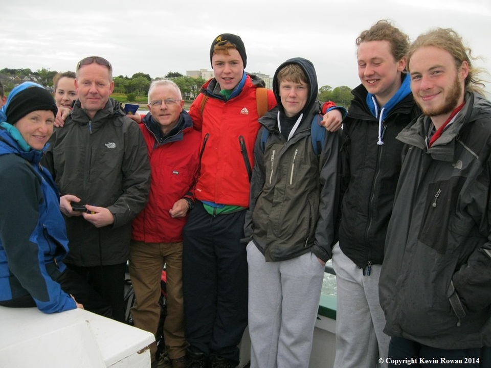
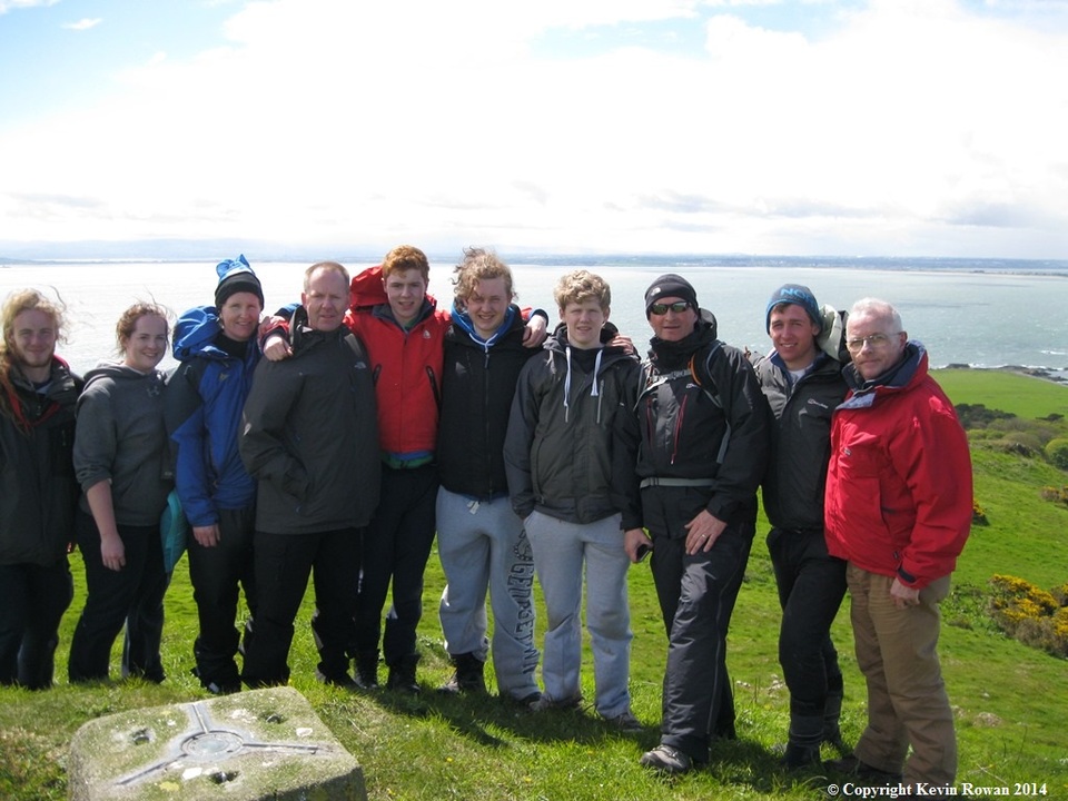
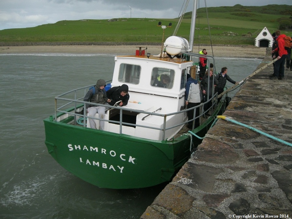
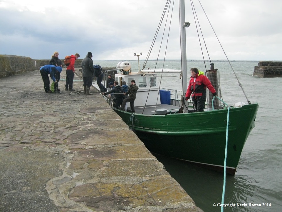
Today’s expedition will be a six nautical mile passage on Shamrock a forty five foot ferry boat with 180 HP Cummins diesel engine servicing Lambay island from Malahide Marina .Built in 1962 at Tyrrell Boat yard of Arklow has serviced the island daily. Ten Sea Scout leaders from the Malahide Sea Scout group by kind permission of Mr. Alex Baring (7th Baron Revelstoke) were invited to spend a full day on the Island. Lambay Island the most easterly part of the Republic of Ireland stretching out into the Irish Sea takes about 40 minutes quay to quay.
Lambay formerly known in Irish as Reachra (the place of many ship wrecks) got its name from its Norse invaders in the 8th century. The Norse named it Lamb-ey (Lamb Island). It was first recorded along with Rathlin Island that Lambay Island was looted by the Vikings in 795 AD.
Back in 2004 local scout members of the newly formed Scouting Ireland named their new local scout county Reachra due to the original six member groups having something in common, a view from their area of the Island (from Donabate, Malahide, Portmarnock, Howth, Sutton and Donaghmede).
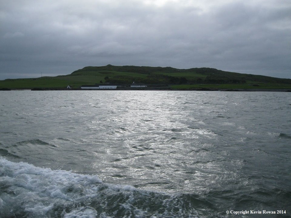
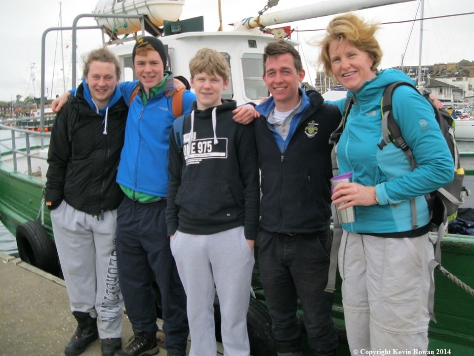
After being welcomed aboard by the skipper Mr. Eoin Grimes crew members on the marina pontoon stood by as we cast lines off at 08.00hrs sharp and headed out of Malahide’s lower estuary across the bar and through ‘Many Waters’ and headed in NNE direction for Lambay Island. We had shelter for a while from the South Westerly gusting occasionally force 5. As we navigated out into the Irish Sea and left land behind us, a rolling sea followed, making the crossing lumpy.
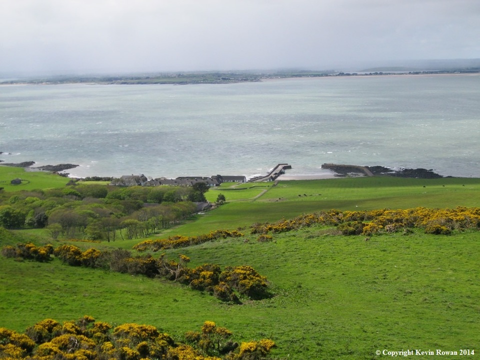
As we got closer to our destination you can see the detail of the familiar white houses and row of former RN Coast Guard Cottages. The deep emerald green islands hillside stands out over the grey sea waves. After docking in the islands harbour our host Alex Baring met us on the quay side, welcomed us and introduced us to Mr. Johnny Walsh our bush craft instructor. We took a 10 minute stroll to the open hard ground which was formerly the airstrips apron. Small one engine aircraft still occasionally land on the islands airstrip.
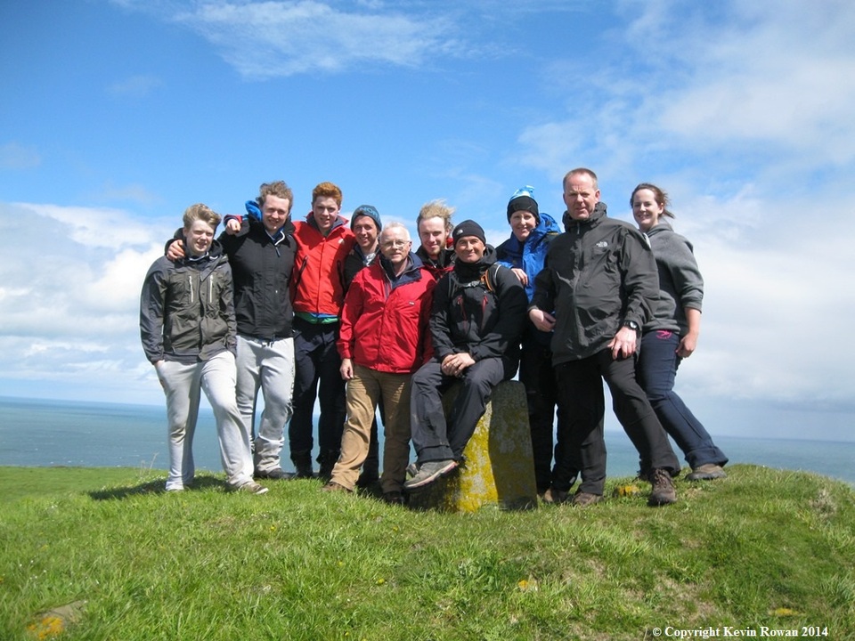
Part of our visit was to give several hours over to volunteer work which we duly undertook and completed by 12.30pm. After lunch our guide Mr.Eoin Grimes took us on the Islands circuit trail which climbs up to the highest point on the island Knockbane at 127 metres .Marked on top by ordnance survey familiar stone block there are 360 degree views over towards Howth, right around to Skerries, the Rockabill lighthouse and easterly over Tayleur Bay out to the Irish Sea. Tayleur Bay has connections with the White Star line the same company that launched the Titanic. A terrible tragedy in 1854 unfolded on the east side of the island were over 360 persons perished when the RMS Tayleur ran aground in very bad weather after leaving Liverpool on her maiden voyage to Melbourne, Australia.
The islands domestic animals and wildlife are every were to see. Looking out of context is the odd dart in front of you of the islands wallaby .Introduced in the 1980’s after a request from Dublin Zoo. The black cattle herd has that native look about them, occasionally shipped on the small ferry boat over to Rogerstown Harbour for going onto the mart. The islands bird colony is in abundance and back during the Second World War seagull eggs were collected and shipped to England for consumption.
The History of the island dates back to pre-historic times . As we descended back towards the Castle and House we crossed over beside the islands airstrip to the church. Before the church lies evidence of the Monastic settlement which was looted by the Vikings in 795 AD. The small early 20th Century church measures approx. 22 feet by 40 feet.
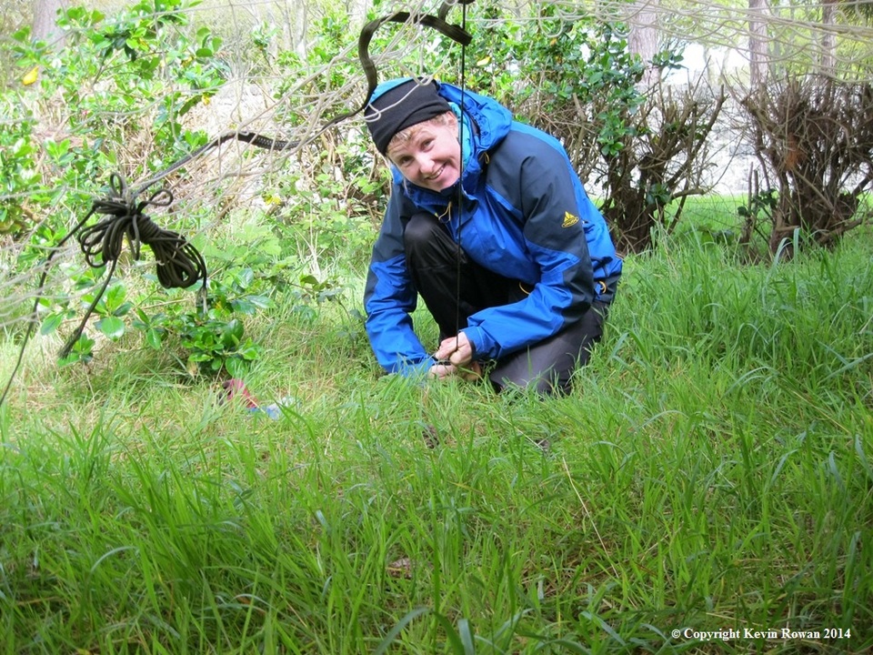
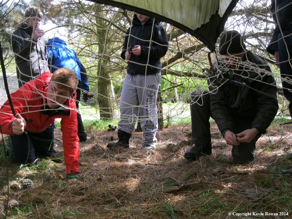
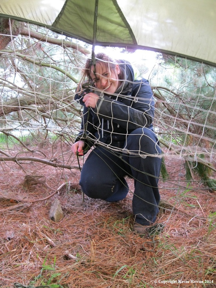
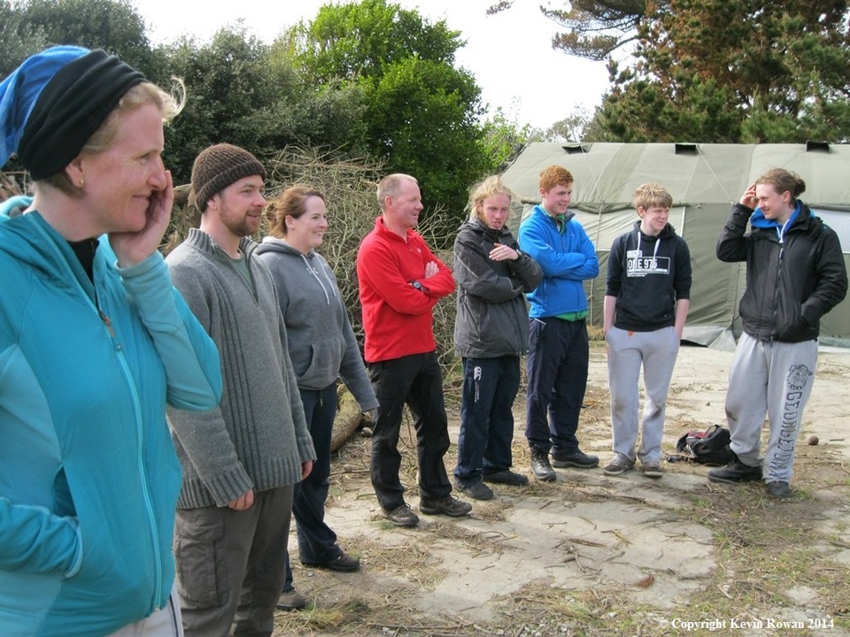
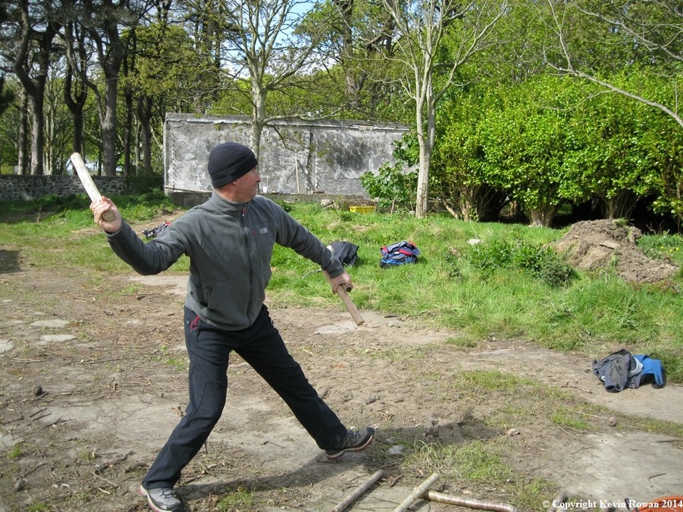
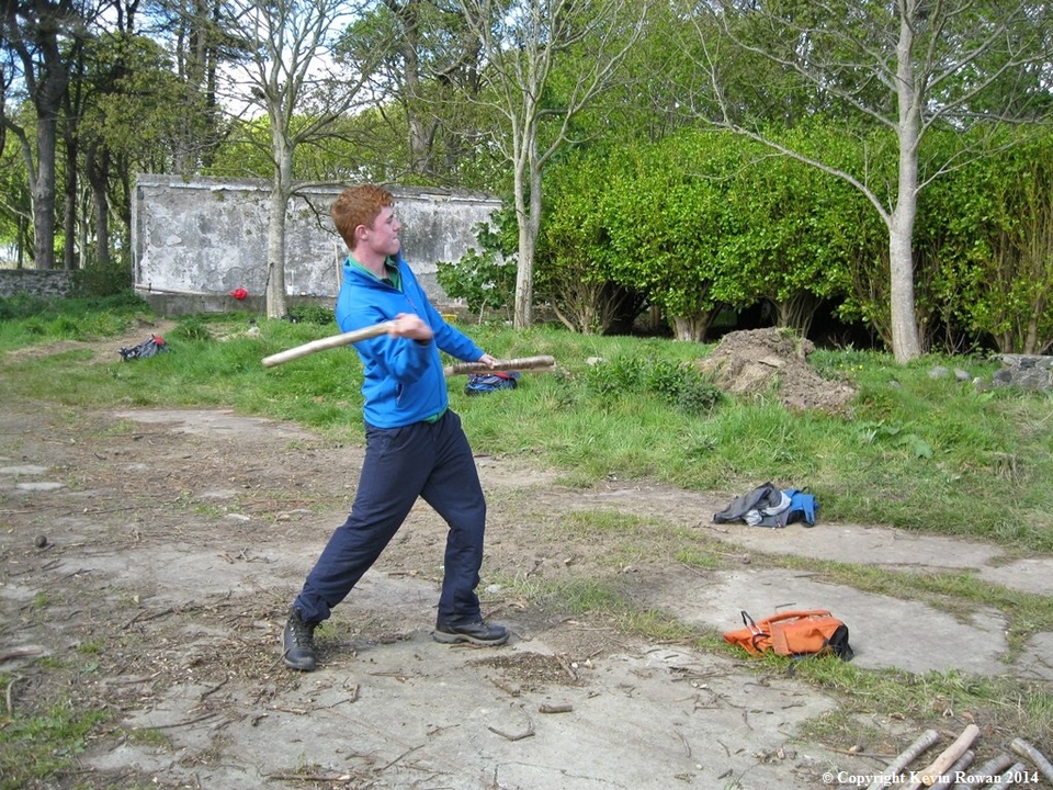
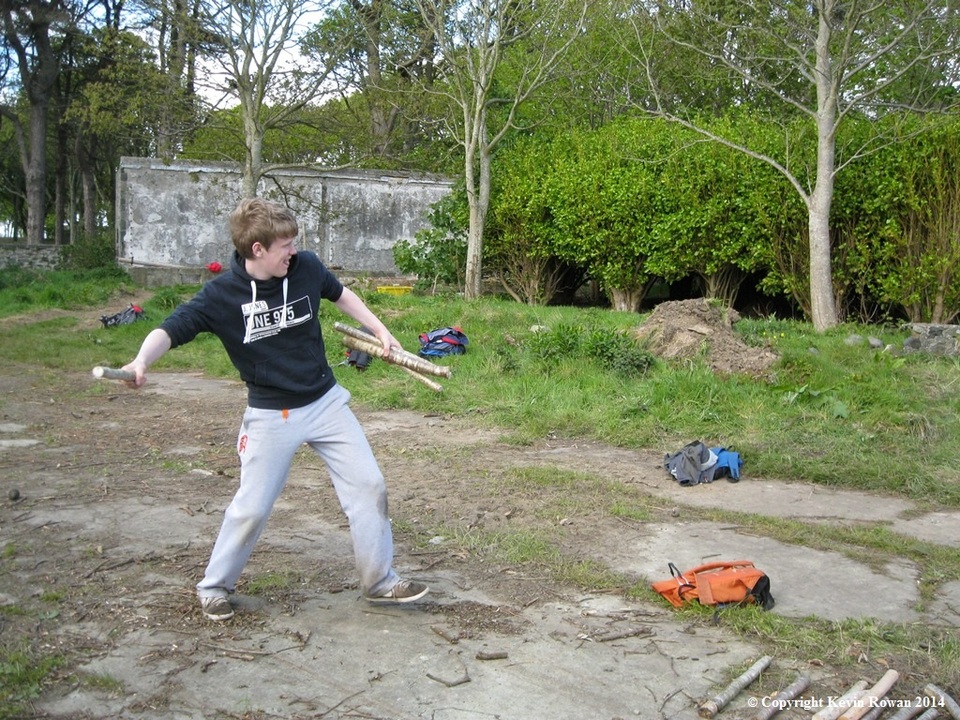
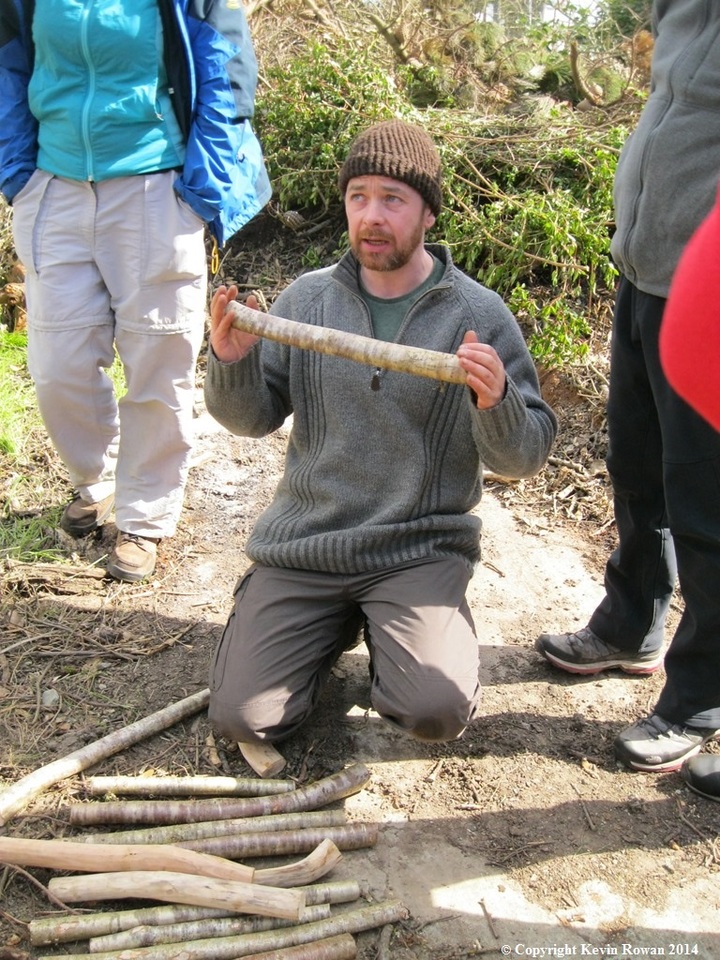
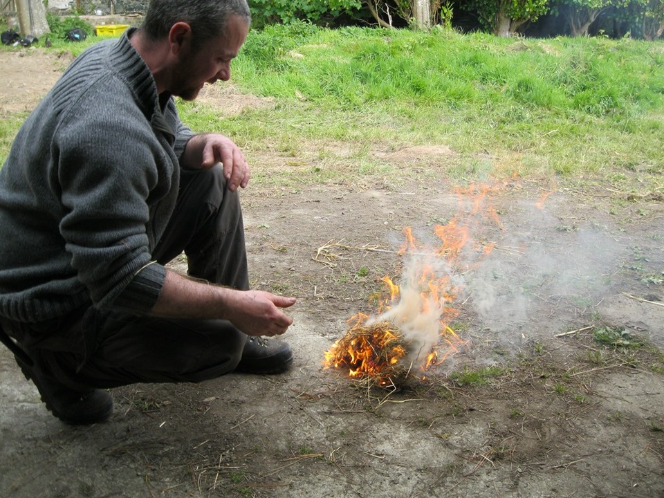
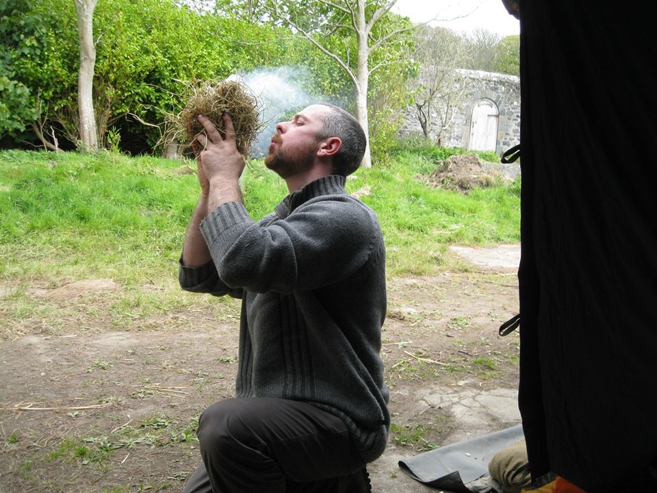
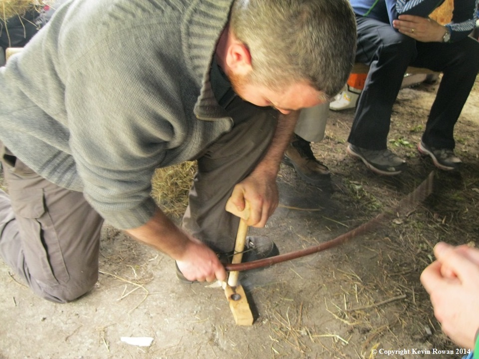
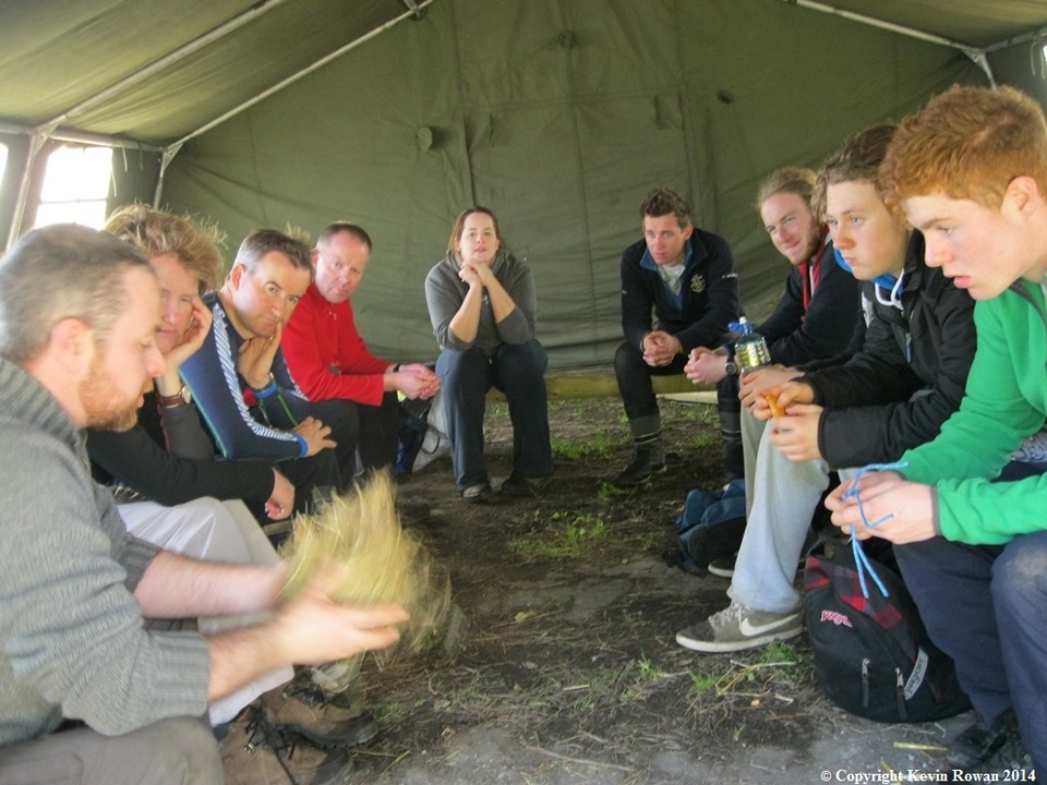
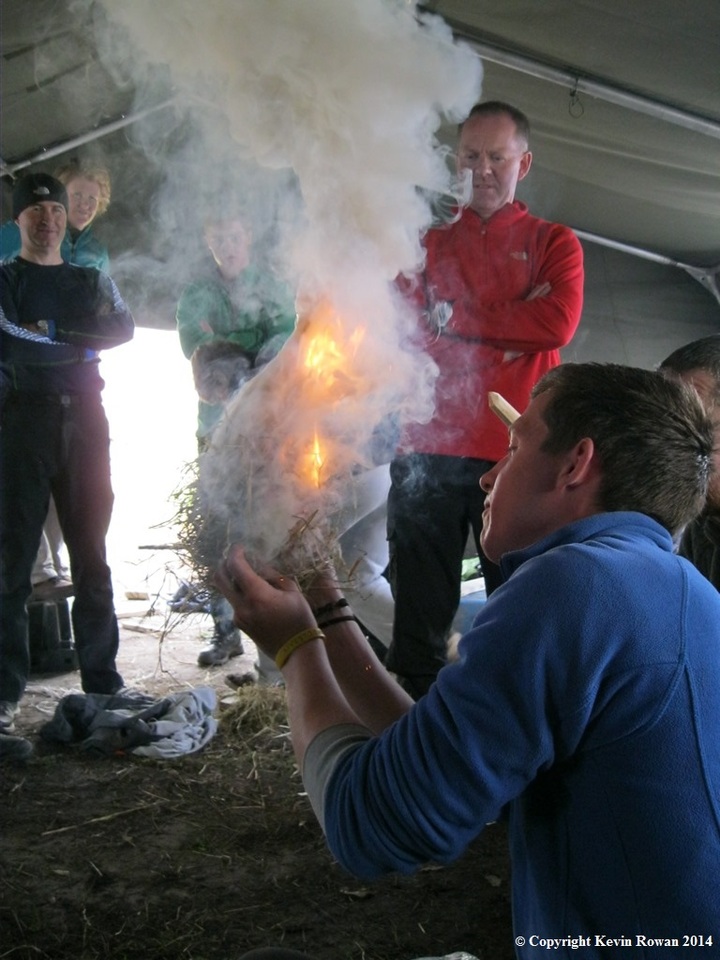
As we returned back to the activity area we began our bush craft skills. Instructor Mr Johnny Walsh of Bushcraft School took us through bow drill a backwoods skill in starting a campfire. Two simple but very entertaining short games using simple props that any scout camp site could lay their hands on passed the next hour or so. Our activity area was well protected from the now very strong south westerly with the castles ramparts.
Our final activity for the day was a guided tour of the inside of the castle and house by our host Alex. The castle dates back to the 15th century while the house was built in the early 20th century by well-known British architect of the time Mr. Edward Lutyens. The present owner Great Grand Parents Maude and Cecil Baring bought the estate and island in 1904 and officially work on the castle and house was completed in 1910.
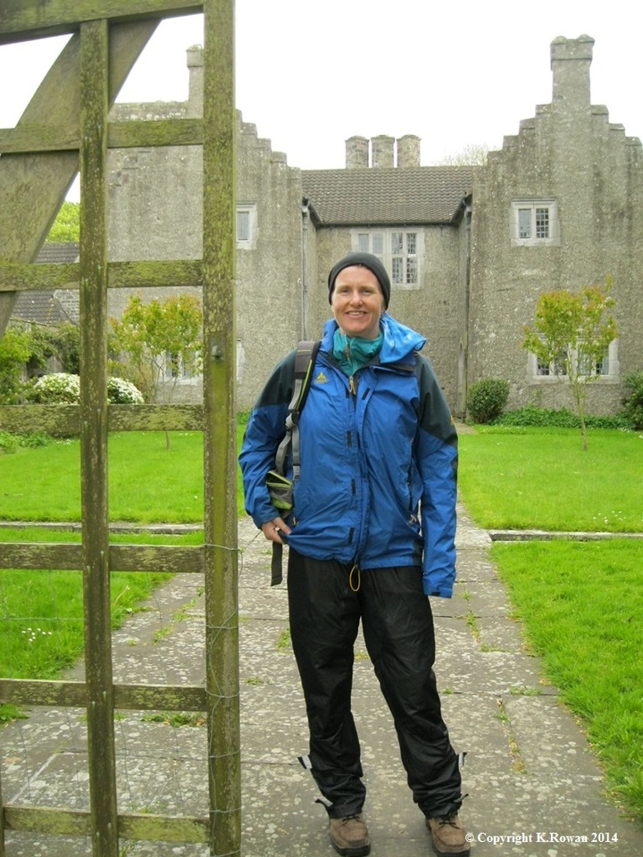
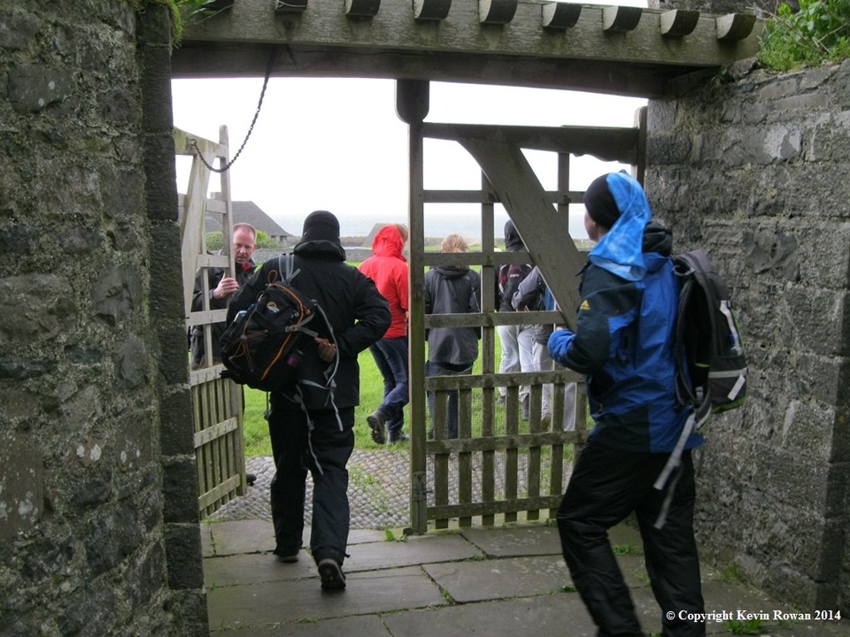
As we make our way back to the ferry and pass through the gardens and exit the gate at the ramparts we knew we had just a great day on Lambay Island.
K.Rowan
7th May 2014
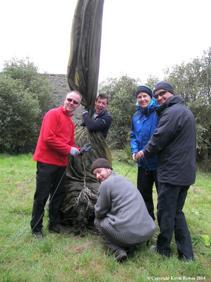
Malahide Sea Scout Leaders and Ventures
Robert McKernan , Paul McEvoy , James Doyle , Gill Forde , Leonie Lynch , Kevin Rowan , Colum McCaffrey, Paul Dawson , Ciaran Casey, and Dessie
Related News
-

16/02/2025. MSS Newsletter Jan 2025 ...
-

16/02/2025. Leadership Afloat 2025 ...
-

05/02/2024. Leadership Afloat 2024 ...
-

16/01/2024. MSS Newsletter Jan 2024 ...